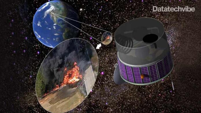
As wildfires currently devastate across the world, a new airborne project team hopes to develop a space solution to stop conflagrations before they get out of control.
The project could one day help future firefighters acquire “fire behaviour” maps within 20 minutes of an outbreak, using satellite data combined with machine learning — a kind of artificial intelligence — according to a statement from the University of California, Berkeley.
The project, funded by a $1.5 million grant, will fund “spotter planes” with infrared detectors — heat-seeking sensors to examine flame length and geometry to learn more about how fires spread. Meanwhile, machine learning algorithms — provided they are trained well on other “hot spot” datasets — could spot new fires in the region within milliseconds, to send alerts.
If all goes well in airborne testing, the detector team — which includes UC Berkeley’s Space Sciences Laboratory and Nevada-based fire assessment company Fireball Information Technologies — hopes to send similar sensors to space within four years to make monitoring and discovery a 24/7 activity.
Also Read: Strategies To Find The Right Security Partner for Enterprises
That said, the UC Berkeley statement didn’t provide details on which satellite or satellites the team is considering for its instrument, and how (besides the sensor testing) they will get ready for the potential 2025 launch date — a relatively quick timeline.
A typical wildfire burns for more than 20 minutes before it’s reported, allowing the flames to easily spiral out of control, the team said in the statement. Worse, global warming causes the intensity and size of such fires to increase due to drought, higher temperatures and diminished humidity. More acres thus burn every year even though the number of fires decreased due to better firefighter training and techniques.
The researchers argue that more adaptive solutions are needed, quickly.


